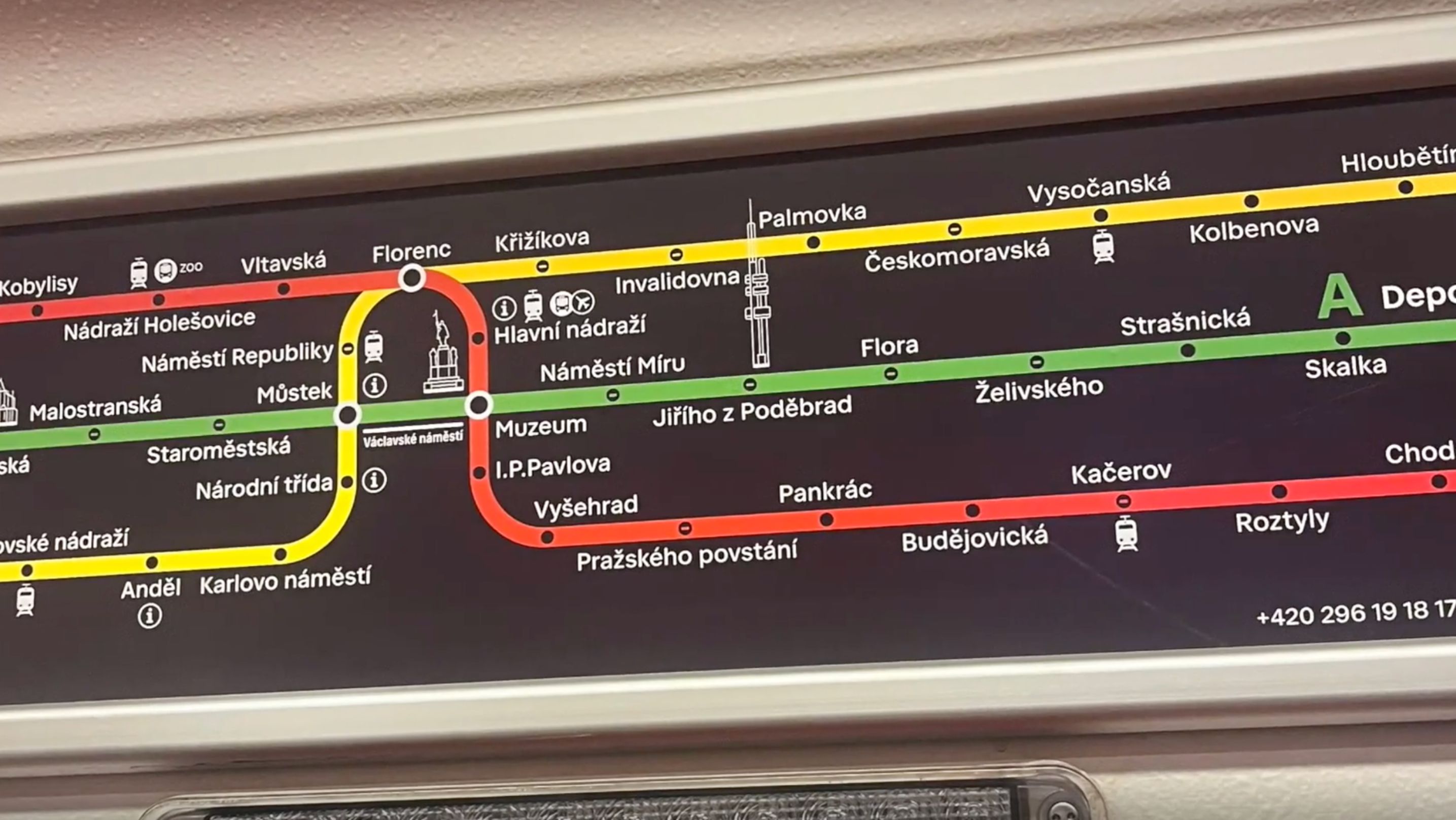
Prague Introduces New Designs of Metro Line Diagrams
Kathy Zabinski

Prague’s public transport system has undergone a striking transformation! Say goodbye to the old metro plans and say hello to the maps.
Starting this Thursday, new navigation maps will replace the traditional ones on every metro line. What’s new? The maps boast fresh colors and a revamped layout, with Wenceslas Square positioned at the center horizontally.
Additionally, they feature prominent city landmarks and green spaces. However, it’s important to note that this change is currently in the testing phase, as confirmed by Prague Integrated Transport (PID).
The goal is to ensure clear visibility of all lines and easy placement above carriage doors, making them visible to all passengers.
Given the intricate web of metro lines branching out in various directions, designing a coherent graphic has posed a challenge.
Visualizza questo post su Instagram
PID will conduct user surveys directly in the metro carriages to focus on the legibility and clarity of the graphics, as well as the need for various types of additional information.
If the feedback indicates success, these innovative maps could be rolled out across all metro cars as early as next year.
-
NEWSLETTER
Subscribe for our daily news


